Leigh-on-Sea, Essex, 2024
St Christopher's School, Leigh-on-Sea
A combined 3D laser scan and topographical survey of a working school, delivered for an architect preparing a planning application.
Planning application surveys, 3D laser scanning

Services
A selection of surveys we have delivered for architects, engineers, contractors and developers, grouped by service.
Leigh-on-Sea, Essex, 2024
A combined 3D laser scan and topographical survey of a working school, delivered for an architect preparing a planning application.
Planning application surveys, 3D laser scanning
Ongar Road, Pilgrims Hatch, Essex, 2023
Buried services traced and mapped to PAS 128 at a working crematorium and cemetery, before construction started.
Utility surveys
Olympic Park, Stratford, London, 2021
Floor levels recorded across hundreds of flats so a contractor could check them against the specified flatness standard.
Level surveys
Eastern Esplanade, Southend-on-Sea, Essex, 2019
Ground and floor levels on the Southend seafront, tied to Ordnance Survey datum for a flood risk assessment.
Flood risk level surveys
Trebovir Road, Kensington, London, 2023
A measured height survey to settle whether a residential block close to 18 metres falls under the Building Safety Act.
Building height surveys
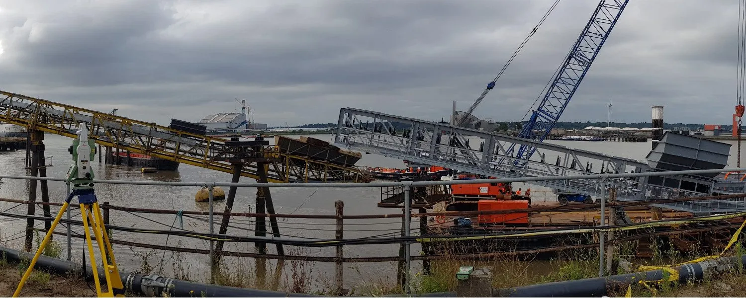
Dagenham, London, 2018
Piling setting out, Volume surveys, Remote monitoring and alerts
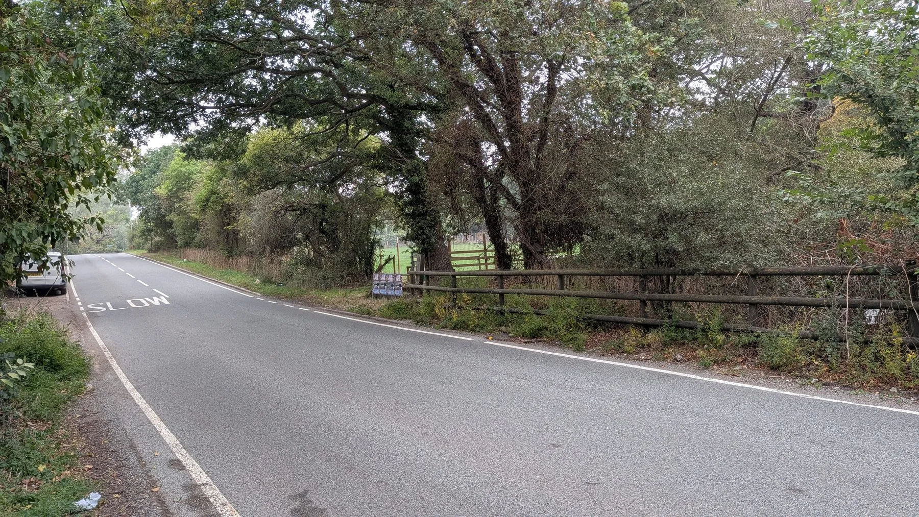
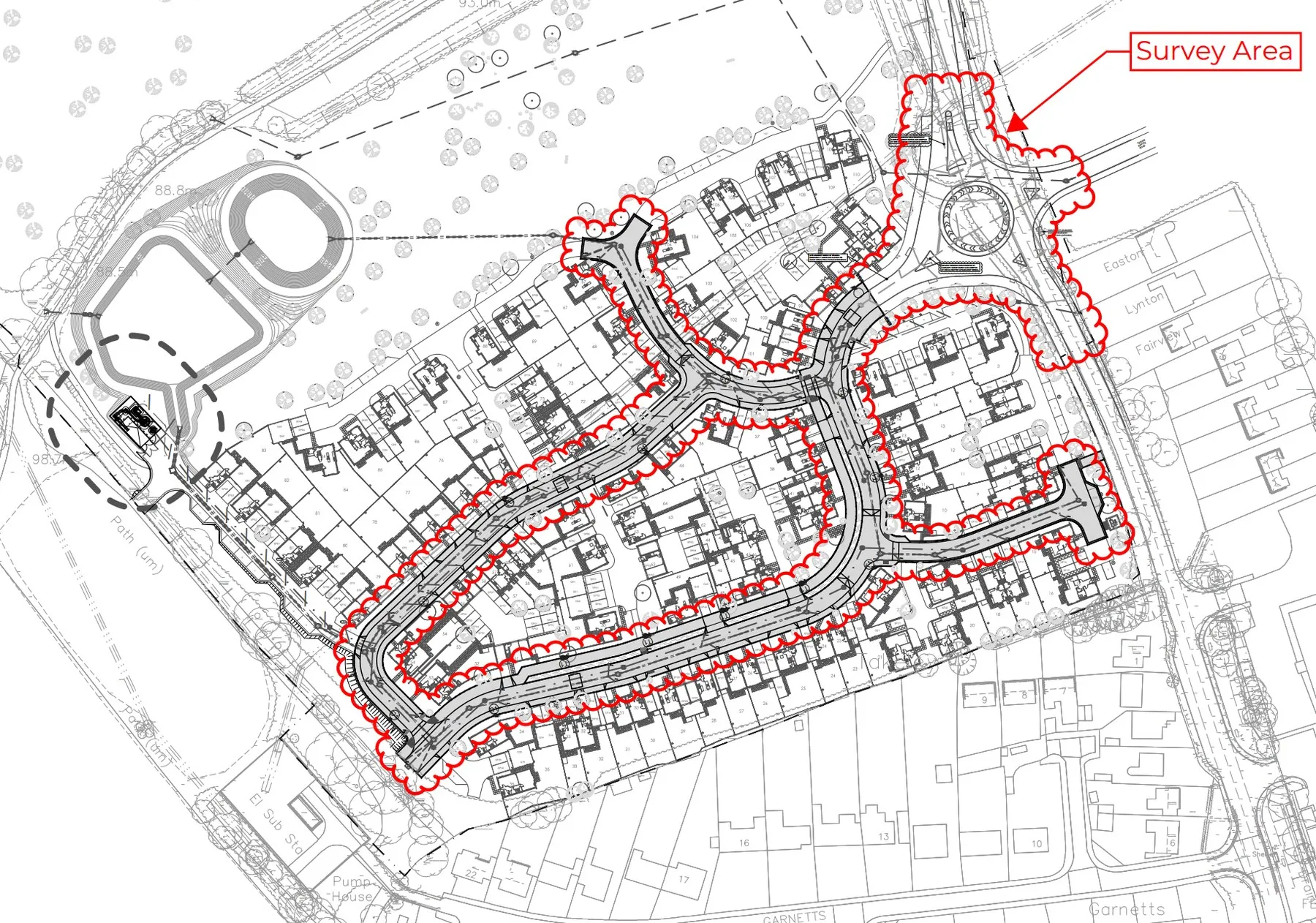
Foulness Island, Essex, 2020
Land, dyke and water levels across a working MOD island, captured for a civil engineer designing a new drainage scheme.
Hydrographic surveys, Topographical surveys, Drone surveys
Send a location, a rough brief and your deadline. We reply with a fixed quote within 24 hours.