Essex
Dunton Road, Basildon
A 35 hectare development site captured by drone LiDAR, with ground control, for a land developer.
Drone LiDAR surveys, Topographical surveys

Services
Quick condition checks on a large number of roofs across a housing estate, carried out by drone without scaffolding or ladders.
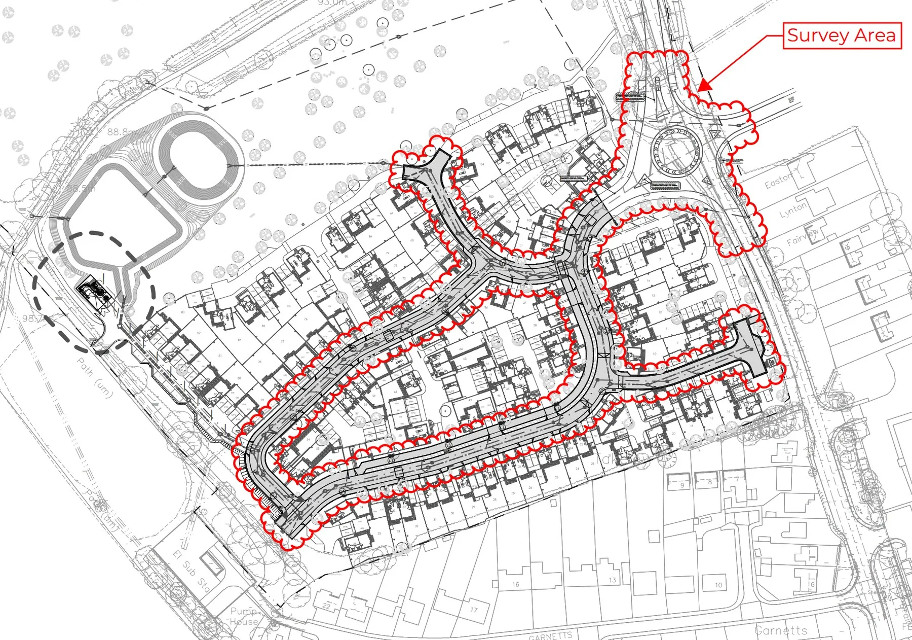
A housing developer needed a quick condition check on the roofs of a large number of houses across the estate.
We flew each roof with a drone, capturing photographs and video of every slope, ridge and junction. The footage was reviewed and condition notes written up for each property.
The challenge was volume. Accessing that many roofs with ladders or scaffold would have been slow and costly, and a drone let us cover the estate quickly while keeping everyone on the ground.
Photographs, video and condition notes for each roof, so the developer could see where attention was needed.
Essex
A 35 hectare development site captured by drone LiDAR, with ground control, for a land developer.
Drone LiDAR surveys, Topographical surveys
Essex
Land, dyke and water levels across a working MOD island, captured for a civil engineer designing a new drainage scheme.
Hydrographic surveys, Topographical surveys, Drone surveys
Send us the site details and your deadline. We reply with a fixed quote within one working day.