
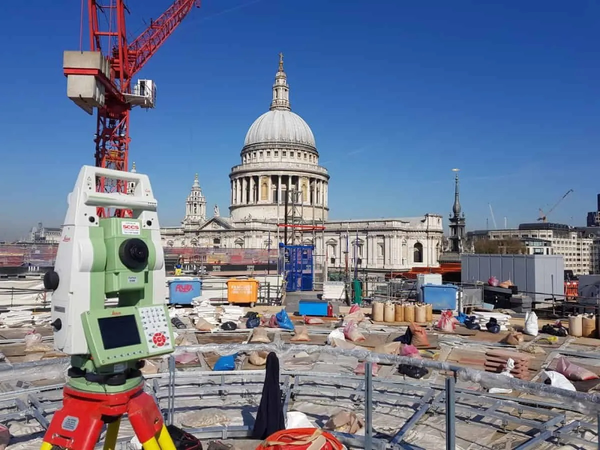
Land and building surveyors for architects, engineers and contractors
Measured building surveys, structural monitoring, topographical surveys, building height surveys and 3D laser scanning across London and the UK, from our base in Leigh-on-Sea, Essex.
Full member of The Survey Association, the UK trade body for survey companies.The Survey Association
Quotes in 24 hours
Fixed price, confirmed timescales, no surprises on the invoice.Fixed price
Since 2013
Over 4,000 surveys, from home extensions to nuclear power stations.Over 4,000 surveys
Fully insured
£1m professional indemnity and £5m public liability cover.£1m PI, £5m PL
Our surveys
Accurate survey data and clean CAD drawings that architects, engineers and contractors can design and build from.
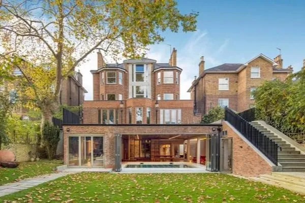
Measured building surveys
Floor plans, elevations and sections of existing buildings.
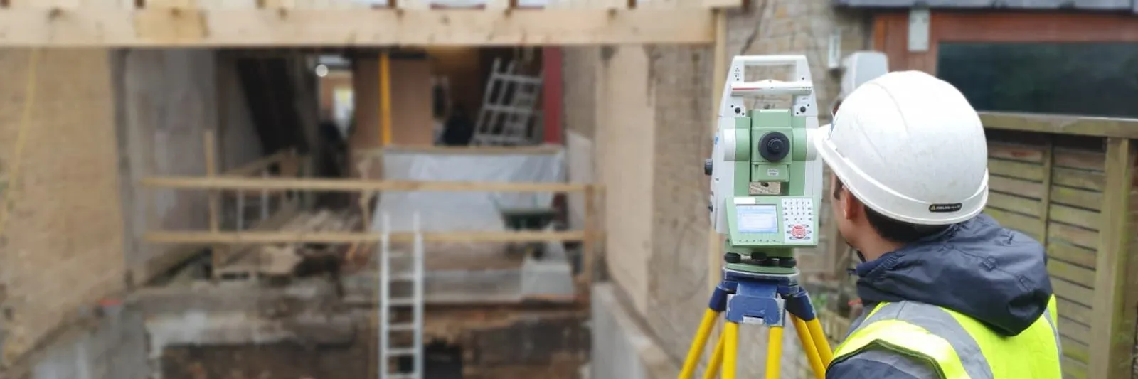
Structural monitoring
Movement, crack, tilt and vibration monitoring with alerts.
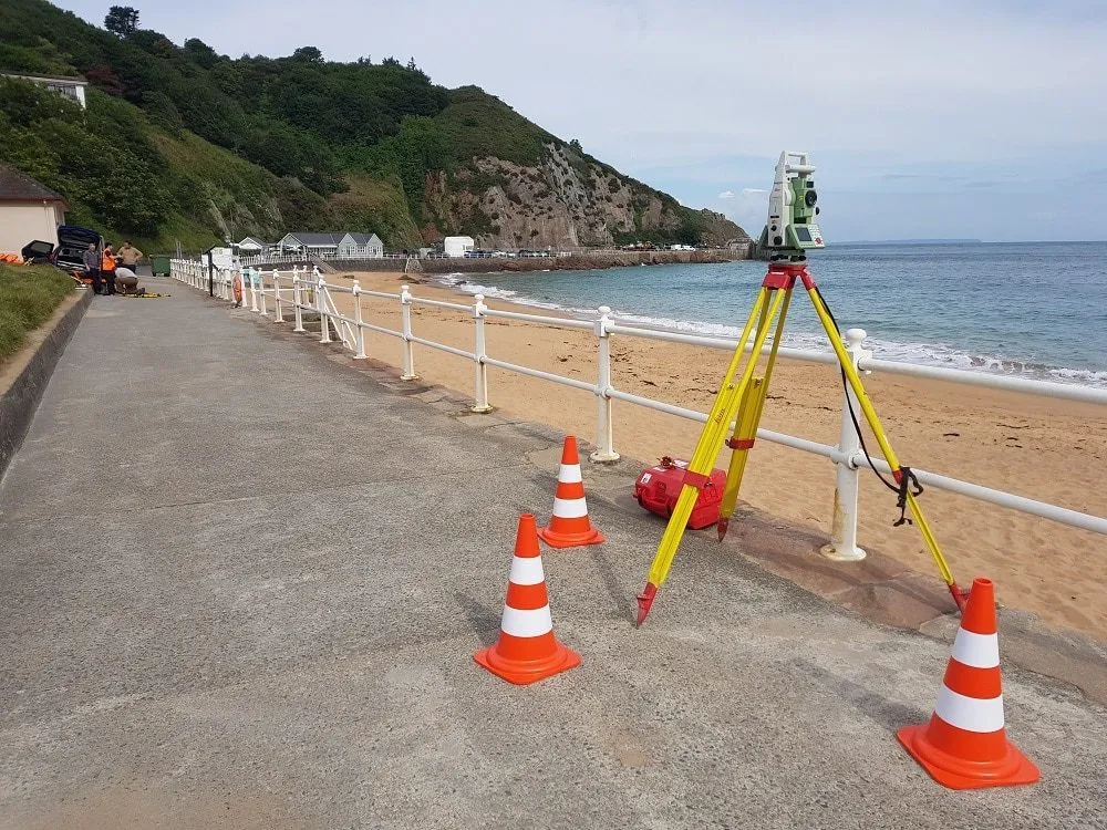
Topographical surveys
Site levels, features and boundaries for planning and design.
Building height surveys
Height and storey measurement for the Building Safety Act.
3D laser scanning
Point clouds and BIM models of buildings, plant and structures.
Setting out
Gridlines, foundations, piles and roads set out on site.
Drone surveys
Aerial LiDAR, mapping and roof inspections.
Hydrographic surveys
Bathymetry of rivers, lakes, harbours and marinas.
Why clients use THS Concepts
You speak to the surveyor
The person who measured your site answers your questions about the drawing. No account managers in between.
Drawings you can design from
Layered DWG and PDF drawings tied to the Ordnance Survey grid, checked before they leave us.
Quick to quote, quick to site
Fixed quotes within 24 hours, usually within two. As a small team we can often get to site quickly.
From extensions to infrastructure
Since 2013 we have surveyed garden plots, listed buildings, Wembley Stadium, Whitehall and a nuclear power station.
Recent projects
See all projects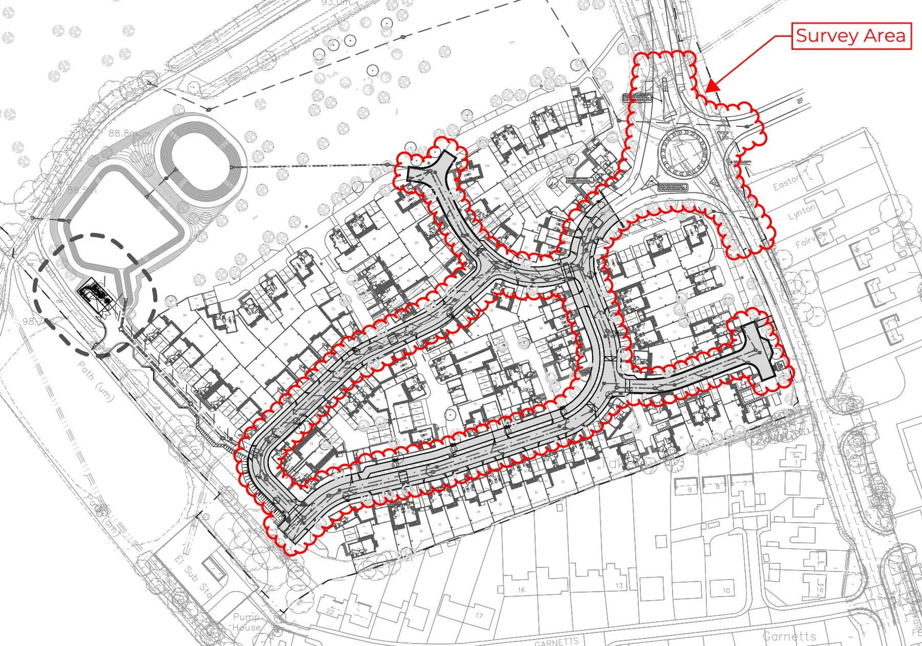
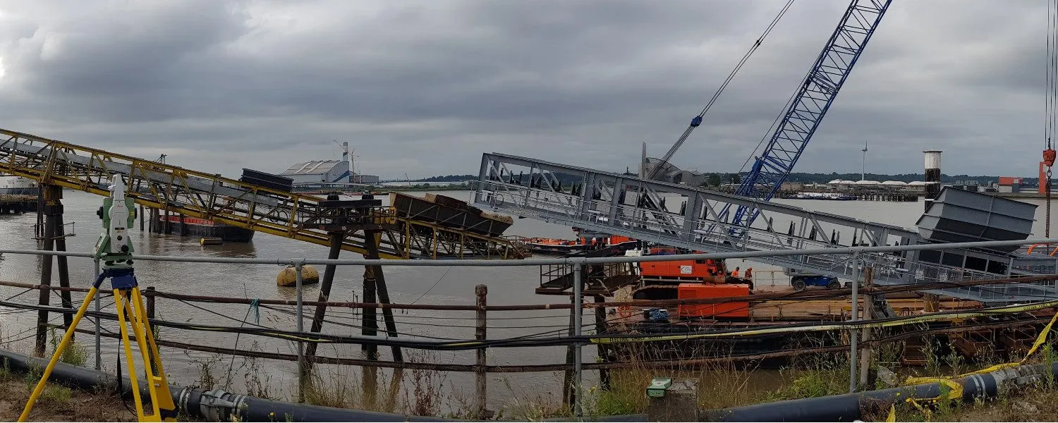
Dagenham, London
Riverside aggregates wharf, Dagenham
Piling setting out, Volume surveys, Remote monitoring and alerts
What clients say
Read our reviews on Google★★★★★
Having worked with THS for several years now, each project is treated with high professionalism every time. We would highly recommend their team.
★★★★★
We have used THS Concepts for multiple surveys from topographic to drone photogrametry, they are professional and prompt and deliver exactly what is requested. Highly recommended.
★★★★★
I contacted Tom to carry out a Topographic survey, and cannot recommend them enough. Nothing was to much, and I was kept up to date with everything as it happened! Great company to deal with and reasonably priced.
Free tools and guides
All tools and calculatorsPlanning constraints checker
Listed buildings, conservation areas, Article 4, flood zones and TPOs for any address in England.
Gradient calculator
Work out falls for drainage, ramps and driveways as a ratio, percentage or angle.
Topographical survey costs
What drives the price of a land survey, with typical costs and ways to keep them down.
Free CAD downloads
Architectural blocks, a CAD template, electrical symbols and UK structural steel sections.
Where we work
Most of our work is in London and the South East. Central London is 45 minutes by train from our office in Leigh-on-Sea and the M25 is 25 minutes by road. We travel nationwide and abroad for larger projects.
Questions we get asked
How quickly can you turn around a survey?
Most quotes go out within 24 hours of your enquiry, usually within two hours during office hours. Topographical survey drawings typically follow 5 to 10 working days after the site visit, and residential measured surveys often in 3 to 5. We confirm timescales with the quote, so tell us if you have a deadline.
Do you cover the whole UK?
Yes. We work across the UK from our base in Leigh-on-Sea, Essex, with most of our work in London and the South East. We also take on international projects, including Liberia, Jersey and the French Alps.
Are you accredited and insured?
We are full members of The Survey Association (TSA) and carry £1 million professional indemnity and £5 million public liability insurance. All our surveyors are CSCS carded.
How much does a survey cost?
It depends on the survey type, site size, level of detail and access. See our guides to topographical survey costs and measured survey costs, or send us your site details for a fixed quote.
What format are the drawings in?
Standard delivery is a layered DWG with a matching PDF, tied to the Ordnance Survey grid. Point clouds, Revit models and other formats are available on request.
Tell us about your site
Send a location, a rough brief and your deadline. We reply with a fixed quote within 24 hours.