Sale – 10% Off All Services – Get Your Quote Today – Expires Soon.
Are you aware of your specific needs and/or wish to include files? Please complete our detailed form here.
We can get to your site quickly with the photos returned on the same day.
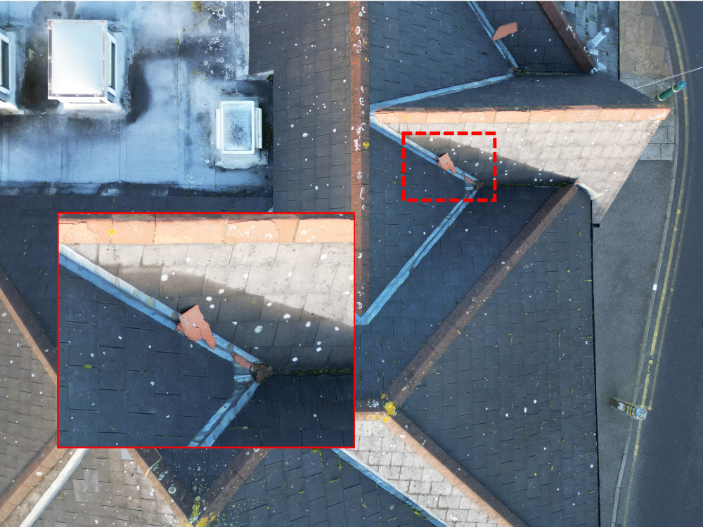
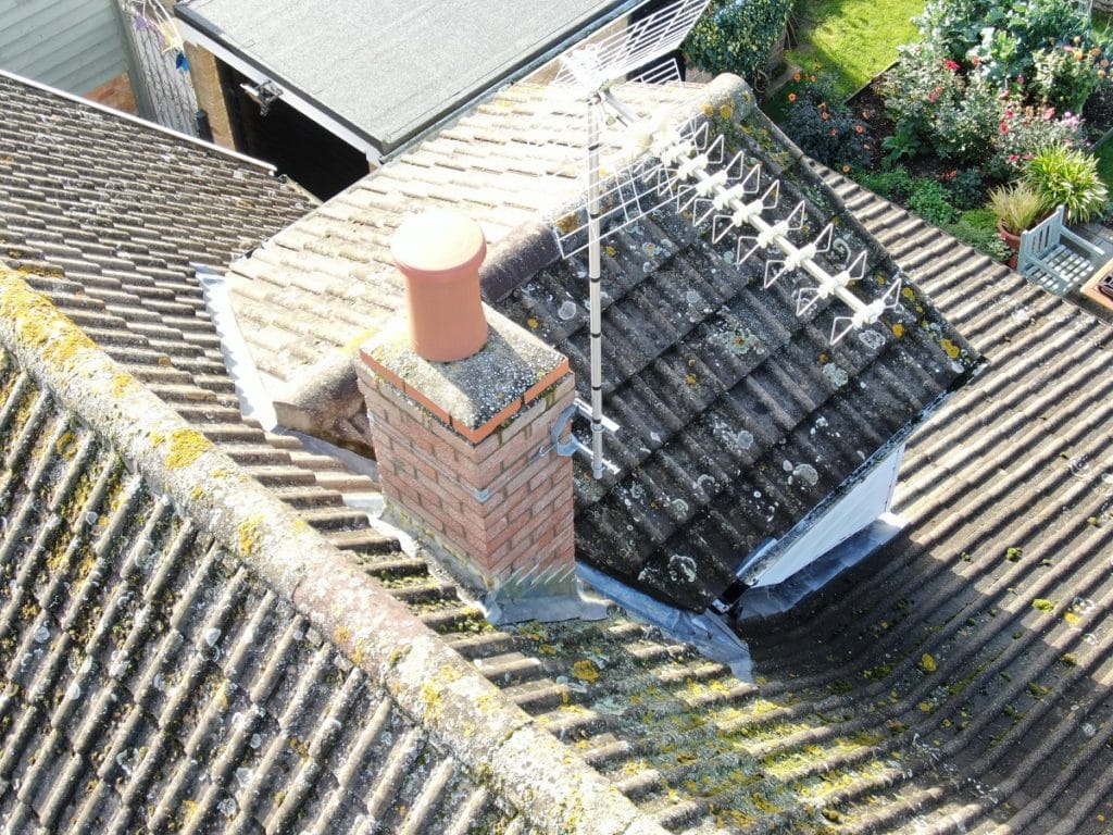
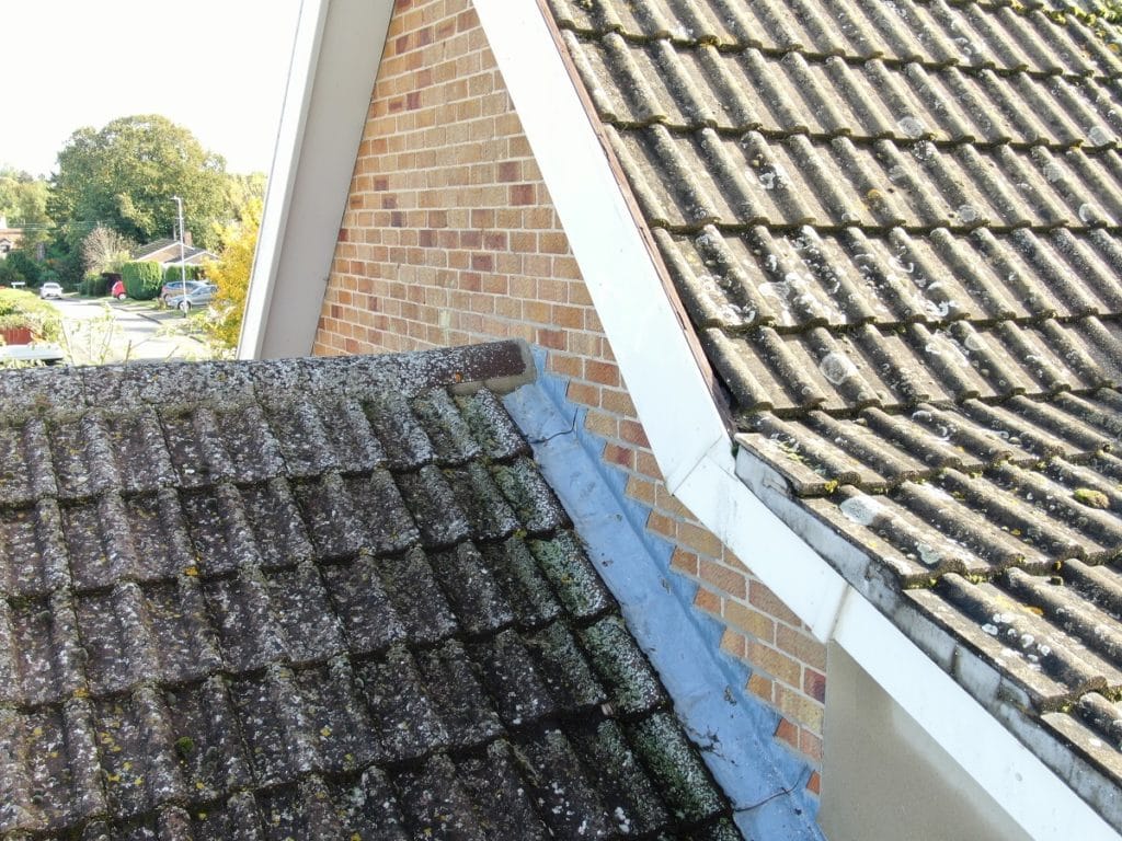
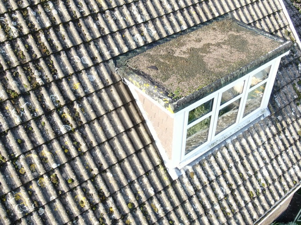
We help to quickly spot issues which cannot be seen from ground level.
Our drone surveys save inspections using costlier conventional ladder or rope access.
See every detail you need with high resolution photographs and videos using our DJI drones.
Surveying a roof conventionally using ladders or cherry pickers can be costly and a breach of the working at height regulations. The modern method of roof inspection utilise drones, which can provide the data you need from ground level.
THS Concepts works alongside building surveyors to undertake detailed surveys and provide high quality photos, videos, and reports. Our drone operators are certified to Civil Aviation Authority standards and carry the appropriate insurance to put your mind at rest.
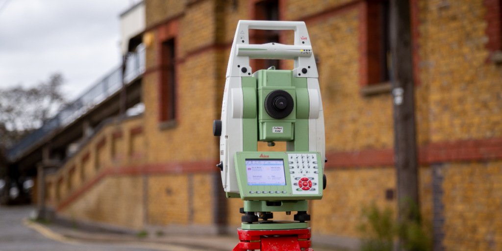
With over 1,900 surveying assignments under our belt, including topographical surveys, 3D scanning, level surveys and more, you can trust our team to pay attention to every detail of your project.
Yes, our drone operators carry the CAA’s A2CoFC qualification. This allows us to fly our approved drones in built-up areas. We carry public liability insurance of up to £1 million pounds, which can be increased where required. Our number one priority when flying is safety for others around us and ourselves. Prior to each flight, we undertake a detailed assessment of the area and equipment to ensure we are 100% confident in our ability to fly.
Chimneys
Roof Tiles
Guttering
Parapet Walls
Aerials
Flat Roofs
We primarily operate our roof surveys using a DJI Mavic Pro 2 (Zoom Version). This drone has an outstanding 12 mega pixel camera and 2x optical zoom which allows us to safely capture all the required details. The drone has advanced sensors and GPS on board which allows it to be safely used in confined areas.
In areas that are very built up we sometimes use our DJI Mavic 3 drone which is a much smaller drone and allows us to fly nearer uninvolved people.
We can generally fly anywhere, but there are a few places that we definitely cannot. We always check with the relevant authorities before we fly. Some areas of London are very tricky to get permission to fly in.
Also, areas around airports, nuclear power stations, prisons, etc have no-fly zones which will require permission to fly into. We aren’t permitted to fly over groups of people.
Our clients receive great service from us, which is reflected in our 5 star reviews on Google and Trustpilot. We ensure you are happy before, during and well after the project has ended.
As a professional surveying company, we carry all the relevant insurance to give our clients confidence in what we produce. We offer a money-back guarantee on all our work and have £5 million in both professional and public liability insurance.
We undertake surveys in the counties surrounding our offices. These include:
However, we have been much further afield within the UK and internationally. We have undertaken surveying work as far away as Liberia in West Africa.
If you would like a quote for a project, then please get in touch.
This obviously depends on the size and the scope of the project. Typically, we will be able to get to your site within 5 days and information is usually issued within 1 day of the final day on site. The photos and videos are returned via a Microsoft OneDrive link which allows you to quickly receive the full resolution files.
We can survey the land around your building, picking up key bits of information such as land heights, tree locations, outbuildings, changes in surface, drainage, and more.
By default, we utilise 3D scanners on our measured survey projects to produce accurate 3D point cloud files. These are then translated into floor plans, elevations and sections etc.
Working alongside our topographical surveys, we undertake underground utility scanning to help work out what is under the ground on your project.
92 Bellhouse Lane, Leigh-on-Sea, Southend-On-Sea, Essex, SS9 4PQ
76 Quill Street, Finsbury Park, London, N4 2AD
THS Concepts has a passionate team of surveyors and CAD draughtsman delivering detailed, thorough and accurate surveys and CAD drawings. We are far more than just a land and building surveying company.
Terms & Conditions | XML Sitemap | Copyright 2022 – THS Concepts LTD