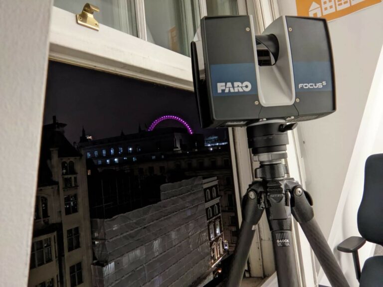
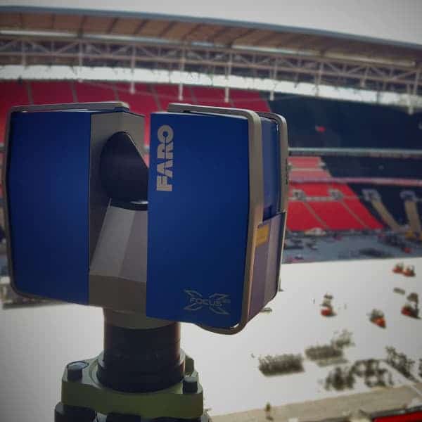
• High detail – Surveys undertaken using total stations and GPS equipment.
• Work quicker – Organised, easy to use CAD drawings.
• Precise data – Get your designs off to a great, accurate start.
• Experienced – Over 2000 surveying jobs since 2013.
• Fully insured – £500,000 professional indemnity.
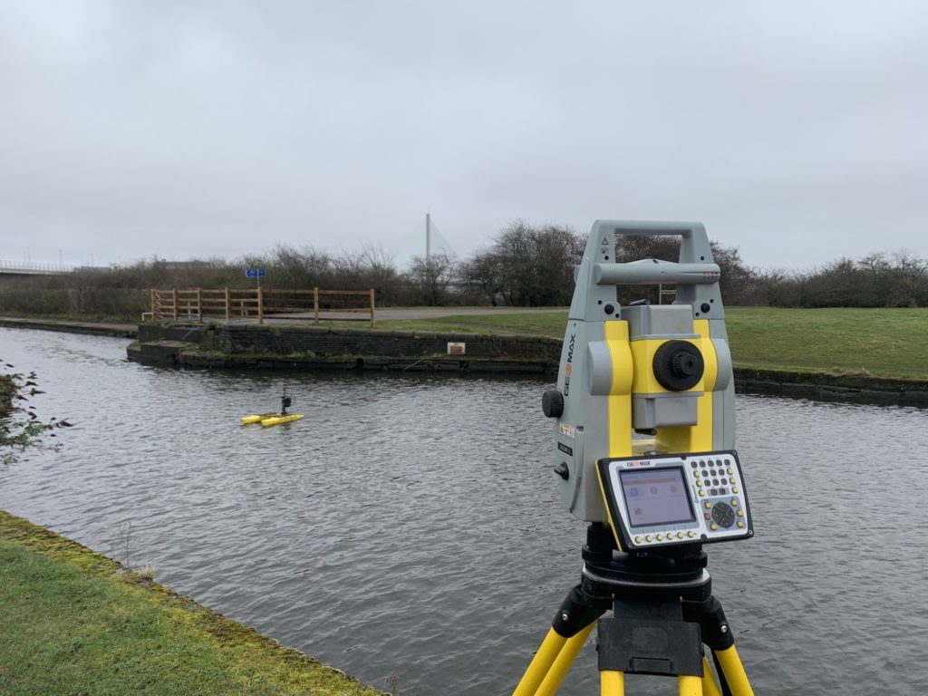
Working with Engineers across the UK, we provide hydrographic / bathymetric surveying services for a number of different projects and applications. We utilise nimble, remotely operated boats to quickly and safely acquire water depth information.

Utilising remotely operated hydrographic survey boats, we safely survey for a variety of different inland waterway projects. These include lakes, reservoirs, mines, ponds and more.
Our hydrographic / bathymetric surveying service is usually utilised during engineering projects such as dredging, construction and demolition. The compact nature of our boat allows us to survey shallow areas and compact spaces without the need for GPS signals.
The bathymetric survey information we provide can help inform key decisions. We present the water depth data in clear, easy to use CAD files / DTM models allowing you to quickly design, take key decisions and get on with your project.
Rapid Survey Information Acquisition
Our shallow draft survey vessel is quick and manoeuvrable allowing rapid survey acquisition. We can typically provide outline results within a few hours of the survey!
Safer Than Conventional Survey Methods
We don't require an operator in a boat or wading in the shallows to pickup the water depths. Our survey boat can be safely launched by 1 person and doesn't require a crane or cradle lowered into the water.
Useful For Smaller, Complicated Projects
Our manoeuvrable survey vessel can safely operate in enclosed, dangerous spaces where conventional methods would be no longer appropriate. These include weirs, locks, water treatment plants etc.
Our Hydrographic Survey Service
Site Survey Service
Our experienced surveyors visit your site, launch the boat and undertake a detailed hydrographic / bathymetric survey of your project.
Hydrographic CAD Drawings
Following your survey, you receive your DWG CAD / DTM (digital terrain model) file. We can illustrate your data in plan, section and 3D format depending on what you require.
PDF Drawings
We also provide your drawings in PDF format, allowing you to easily print, mark up and measure both in the office and while out on site.
Photographs
Our surveyor takes plenty of photos on site, which are often useful during your project. We can send these in an easy-to-download link.
After Care
We ensure you are 100% satisfied with the drawings and service we provide. Updates and amendments are no problem and are undertaken quickly to get your project moving.
CAD Advice & Tips
We love helping you with projects! If you have an issue with CAD or need some tips to work effectively then we are quite happy to help, free of charge.
Hydrographic Surveys FAQ
We have undertaken our bathymetric / hydrographic survey service on a number of different projects around the UK. These range from:
- Dredge surveys in marinas / rivers.
- Removal and installation of new lock gates.
- A new pier in central London.
- Post construction of a new lake / wetlands.
We use a Hydrone remotely controlled survey boat. This is a twin hulled catamaran platformed specifically designed for hydrographic surveying.
The Hydrone utilises either a GPS device or a 360 Leica Prism to obtain the boats position / height and a sonar device to survey the bed levels.
Important features include:
- Survey Speed – 3 knots / 1.5 m/s
- Hull Width – 736mm
- Hull Length – 1143 mm
- Weight – 9kg
We operate both nationally and internationally, we have been as far as Liberia in West Africa to undertake our surveying services
However, we typically operate in London & The South East. This includes Kent, Hertfordshire, Sussex, Surrey, Suffolk and Essex
We often compliment our bathymetric / hydrographic surveys with topographical surveys to obtain information on the surround land next to a water feature. This can all be neatly integrated into one drawing package for you to easily analyse and design from.
Please visit our topographical survey page for more information.
Get A Quote
To get started, please fill out our form below. After we check your project details we’ll send you a fixed price quotation within 24 hours illustrating costs and timelines to get everything returned to you.
Don’t fancy filling out the form? Get in touch via email or telephone:
Email: info@ths-concepts.co.uk
Call: 020 8935 5160
Edward Sadler - Davis Construction
“Proactive on site and quick. Customer service is of the highest level as well. Will be using for all future projects.”
Teoman Ayas - MIM Studios
“Professional and attentive. They produced good quality CAD survey tailored for the specific needs of our project. Their price was reasonable and they delivered it on time.”
Anthony Kyrke-Smith - AKS Architects
“Very efficient service with quick turnaround. I have used THS-Concepts before and I will again, when I next need a detailed survey.”
Geoff Smith
“Chris and the guys at THS were absolutely fantastic! They were extremely reasonable cost wise yet provided an outstanding service, despite my complicated situation and numerous changes we had to make.”


