
Underground utility surveys to PAS 128
Gas, electric, water, telecoms and drainage traced with ground-penetrating radar and electromagnetic location, and mapped to the OS grid before you dig. Surveyed to PAS 128 Quality Level B as standard.
What a utility survey is
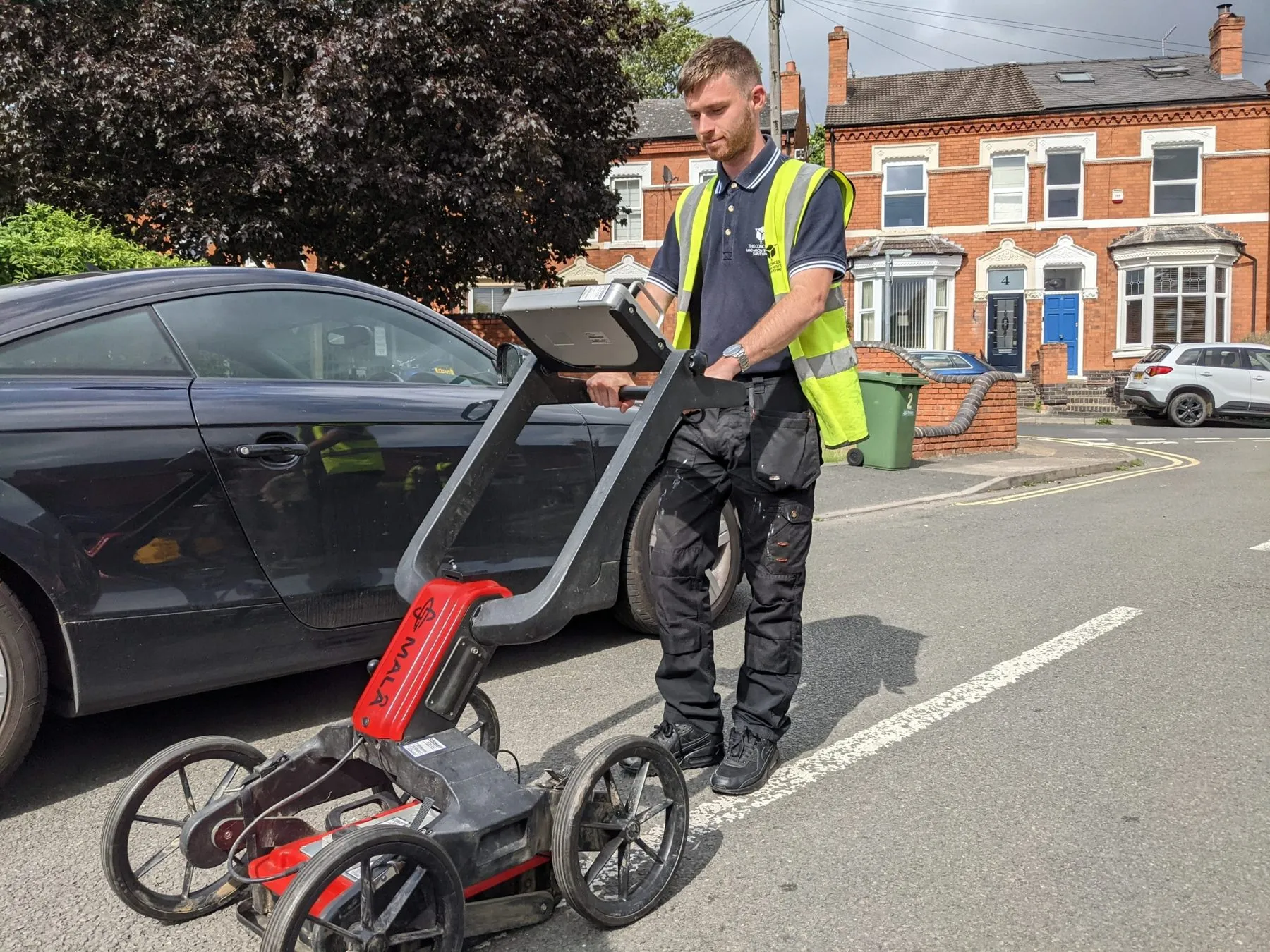
A utility survey locates and maps the services under a site before anyone digs. Our technicians use electromagnetic location (EML) and ground-penetrating radar (GPR) to trace gas, water, electricity, telecoms and drainage, then plot them on a scaled drawing referenced to OS grid coordinates.
It lets contractors excavate safely, lets designers plan connections and foundations around what is there, and shows the client has met the pre-construction checks most principal contractors and local authorities expect.
Why it matters
- Safety. Knowing where live cables and gas mains run prevents strikes that put workers and the public at risk.
- Cost and programme. A service strike means repairs, delays and disputes. Finding services first lets you plan around them.
- Compliance. A PAS 128 survey records how each service was detected and how reliable the data is, which is what clients and contractors increasingly ask for.
PAS 128
PAS 128 is the UK specification for detecting, verifying and locating underground utilities. It sets out how surveys are carried out and how confident you can be in each line on the drawing, so results are consistent from one project to the next. We survey to Quality Level B as standard.
How it works
Quote
Send the site location, the area to survey and the PAS 128 quality level you need. Every quote is priced to the site.
Survey
Technicians trace services with EML and GPR, lift covers to record drainage, and fix positions with GNSS.
Drawings
We usually attend within two weeks of booking, and drawings follow around a week after the survey.
Who we work with
Architects and engineers
Know what is in the ground before you place foundations, drainage or new connections.
Principal contractors
Pre-dig information to plan excavations safely and avoid service strikes.
Developers
Service routes and constraints identified before they affect the layout or programme.
Recent projects
See all projectsWhat clients say
Read our reviews on Google★★★★★
I was impressed by THS Concepts topographical survey services' professionalism and accuracy. They were efficient and reasonably priced. I highly recommend them.
★★★★★
We recently approached THS Concepts to carry out a level survey of the screed to the ground floor of a large residential property we were Project Managing. The property was undergoing extensions and refurbishment work. We had a tight timescale to receive the information, and THS Concepts delivered quickly and efficiently to meet our deadline. This is the second time we have used them and would highly recommend.
★★★★★
We have used THS Concepts for multiple surveys from topographic to drone photogrametry, they are professional and prompt and deliver exactly what is requested. Highly recommended.
Utility surveys: common questions
What are the PAS 128 quality levels?
Level D is a desktop study of existing records. Level C adds a site reconnaissance of visible features such as covers and valves. Level B uses GPR and EML to detect and map services without digging, and is what most design and construction projects specify. Level A confirms position, depth and material by exposing the service, usually with trial holes or vacuum excavation.
What is the difference between GPR and EML?
Electromagnetic location traces conductive services such as metal pipes and live cables. Ground-penetrating radar detects conductive and non-conductive services, including plastic pipes, across a wider range of ground conditions. We use both, so coverage is complete.
What quality level do I need?
Most construction and design projects specify Quality Level B, a full geophysical detection survey. If your contractor needs depths confirmed before digging near critical services, Level A trial holes can be added.
How much does a utility survey cost?
Each quote is priced to the size and complexity of the site and the quality level required. Send us the location for a free, fixed quote.
Related services
- Setting out
Gridlines, foundations, piles and roads set out on site.
- Structural monitoring
Movement, crack, tilt and vibration monitoring with alerts.
Tell us about your site
Send a location, a rough brief and your deadline. We reply with a fixed quote within 24 hours.