Leigh-on-Sea, Essex
St Christopher's School, Leigh-on-Sea
Planning application surveys, 3D laser scanning

Services
A millimetre-accurate 3D record of your building or site, captured with FARO scanners. From one scan we deliver whatever the project needs: a point cloud, a Revit model, 2D CAD drawings or a clash check.
Full member of The Survey Association, the UK trade body for survey companies.
Fixed price, confirmed timescales, no surprises on the invoice.
Over 2,000 surveys, from home extensions to nuclear power stations.
£1m professional indemnity and £5m public liability cover.
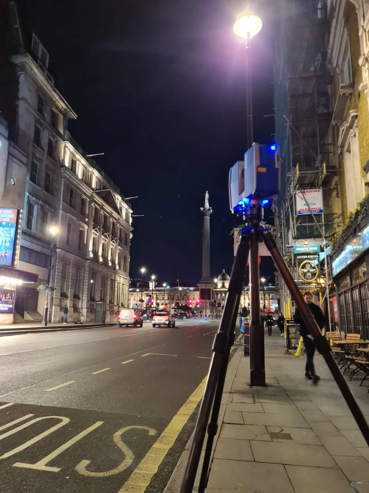
A 3D laser scanning survey captures a building, structure or site as a dense cloud of measured points. A FARO scanner sweeps every visible surface from each position, recording up to two million points a second. We move it through the building, registering each scan to one coordinate system, until every space in the brief is covered.
The result is a registered point cloud, and from that we deliver whatever your project needs: a Revit model, 2D CAD plans and elevations, a mesh, a clash check against design, or the raw cloud for your own team.
Scanning is the better choice when:
A traditional measured building survey still makes sense for standard architectural drawings of a straightforward building with no BIM workflow. For most projects with any BIM involvement, scanning is now the better starting point, even if the final deliverable is 2D drawings.
We scan with FARO scanners, from the S70 static scanner, with a stated accuracy of ±2mm at 25m, to the Orbis mobile SLAM scanner for capturing large areas quickly. Registration in FARO Scene uses a target and cloud-to-cloud workflow, with registration error typically under 3mm across a whole building. Where a site needs geo-referencing, we tie the scan network to OS National Grid or a project grid using GNSS or total station observations. For roofs and upper elevations we combine ground scanning with drone capture.
Revit and IFC models built from registered 3D laser scan data, from basic massing to construction detail. Architectural, structural and MEP, modelled to the level of detail your project needs.
A registered, millimetre-accurate point cloud of your building or site, delivered in the format your team uses so they can measure, model and design directly from it.
A record of what has actually been built, captured by laser scan and compared with the design, so deviations are found before they become rework and handover information is accurate.
Handheld and mobile laser scanning that captures as you walk. Ideal for large buildings, tunnels, stations and sites where static scanning would take too long or access windows are short.
Plant rooms, factories, power stations and process plant scanned in detail, giving engineers accurate geometry of pipework, steelwork and equipment for design, retrofit and clash checking.
Send drawings, an address or a sketch of the area, and the deliverable you need. We quote within one working day.
Most residential and small commercial projects take one day. Larger or complex sites take 2 to 5 days, with each scan position taking 3 to 8 minutes.
Scans are registered in FARO Scene and checked against the agreed accuracy. Where needed we tie the network to OS National Grid or a project grid.
Our in-house team builds the model or drawings from the cloud. Files arrive by secure link, typically 7 to 14 working days after the final scan visit.
Scope varies too much for one price, so treat these as a starting point. We are happy to quote against your specification or a fixed deliverable list.
| Typical job | Guide price |
|---|---|
| Point cloud only | From £600 |
| Scan plus 2D CAD plans, sections and elevations | From £1,000 |
| Scan to BIM, LOD 300 architectural model | From £1,000 |
| MEP scan to BIM, federated model | From £2,000 |
Prices exclude VAT.
A verified existing-conditions model for refurbishment, extension, change-of-use and heritage work.
Accurate as-built geometry for retrofit, strengthening and change-of-use design.
Plant rooms, risers and dense services captured in detail a measured survey cannot match.
Scan-verified as-builts for handover, clash detection and progress monitoring.
Listed buildings recorded in full, so every intervention can be justified.
Floor area verification (NIA, GIA, IPMS) and the foundation for a digital twin.
Leigh-on-Sea, Essex
Planning application surveys, 3D laser scanning
We carry out 3d laser scanning across the UK from our office in Leigh-on-Sea, Essex. Local pages:
★★★★★
Having worked with THS for several years now, each project is treated with high professionalism every time. We would highly recommend their team.
★★★★★
I was impressed by THS Concepts topographical survey services' professionalism and accuracy. They were efficient and reasonably priced. I highly recommend them.
★★★★★
We recently approached THS Concepts to carry out a level survey of the screed to the ground floor of a large residential property we were Project Managing. The property was undergoing extensions and refurbishment work. We had a tight timescale to receive the information, and THS Concepts delivered quickly and efficiently to meet our deadline. This is the second time we have used them and would highly recommend.
Both can produce 2D plans and elevations. A scan also produces a point cloud, a millimetre-accurate 3D record of the whole building that can be reused for BIM, clash detection or later design rounds. For simple 2D drawings of a simple building, a measured building survey is often more cost-effective.
Most often RCP and RCS for Revit and Navisworks, E57 for cross-platform use, FLS for FARO Scene, and PTS or PTX for older CAD packages. Other formats on request. Our guide How to open point cloud files covers the detail.
LOD 200 for design intent, LOD 300 for coordinated tender-stage models, and LOD 350 to 400 where elements need to be fabrication-ready. We agree LOD per discipline at quote stage so you only pay for the detail you need.
FARO's stated accuracy is ±2mm at 25m. After registration, accuracy across a whole building is typically within 3mm. For precision dimensional control we can quote against a tighter specification.
Yes. The scanner is silent and Class 1 laser safe. We regularly scan occupied offices, shops, homes and working plant rooms, agreeing access and timings with the building manager first.
Yes. Most BIM tools read E57 or RCP natively. We deliver in the format your team uses, set to a sensible coordinate origin, and can walk your modeller through the files.
Floor plans, elevations and sections of existing buildings.
Aerial LiDAR, mapping and roof inspections.
Movement, crack, tilt and vibration monitoring with alerts.
Send a location, a rough brief and your deadline. We reply with a fixed quote within 24 hours.