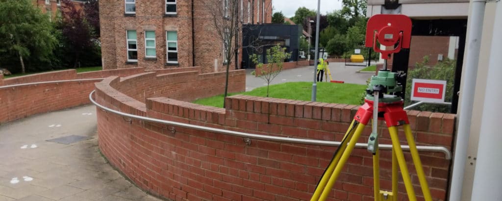
Topographical Survey – 2no High Schools – Liverpool
Two-week survey project in Liverpool, documenting complex school landscapes and outdoor facilities.
Sale – 10% Off All Services – Get Your Quote Today – Expires Soon.
Unveiling the Role of Topographical Land Surveys in Construction and Engineering
A Comprehensive Overview of What, Why, and How They’re Used.
Article By: Tom Ayre
Last Update: March 2024
In this article, we explain what a topographical survey is and why they are crucial when undertaking building projects.
Before a construction projects begins, a design for the site needs to be formed. This is usually undertaken by an Architect. The plans drawn up need to be accurate and buildable. A topographical survey and the drawings provided form a basis to design from to ensure that the design and build goes smoothly.
Find out more below:A topographical land survey is a detailed measurement and recording of the position and height of man-made and natural features within a specific area. The resulting data is used to create various types of information such as CAD drawings, contour maps, and terrain models.
Topographical surveys are utilised by a range of professions including architects, engineers, building contractors to effectively visualise, plan and develop their projects. The drawings and information produced by the survey work are used as a base to design from.
A topographical survey is a crucial component of a successful construction or engineering project. Position and height data recorded by the survey can help prevent costly problems such as building in unsuitable areas.
An example of an unsuitable area which could be revealed by the topographic survey include:
Another benefit of a commissioning a topographical survey from the start of a project is that it will make the setting out engineer’s job much easier. A topographical survey will leave a number of fixed reference markers on site, such as nails in concrete. These positions can then be utilised when setting out the new design so that elements such as foundations, brickwork, new trees etc are in place in the correct position.
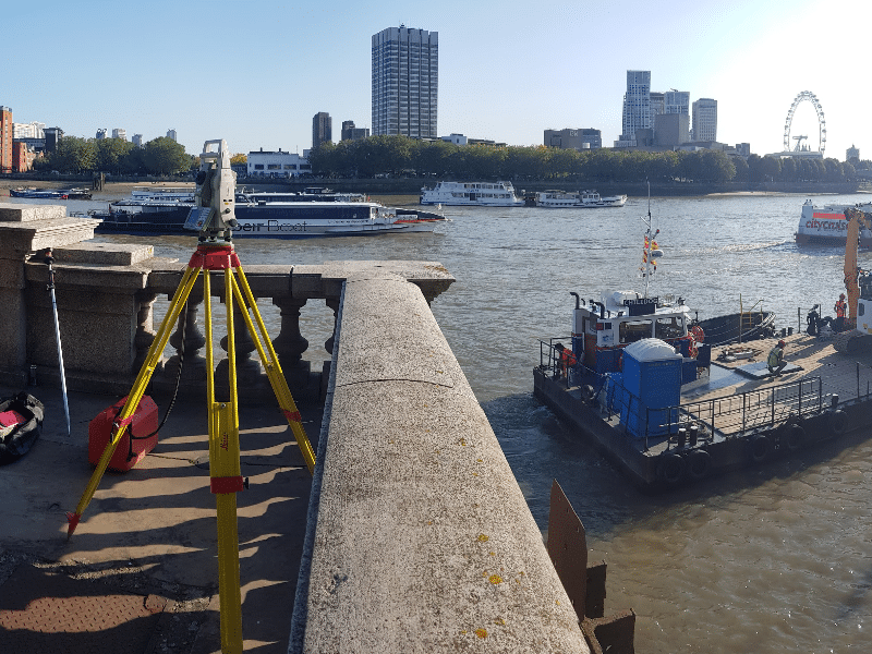
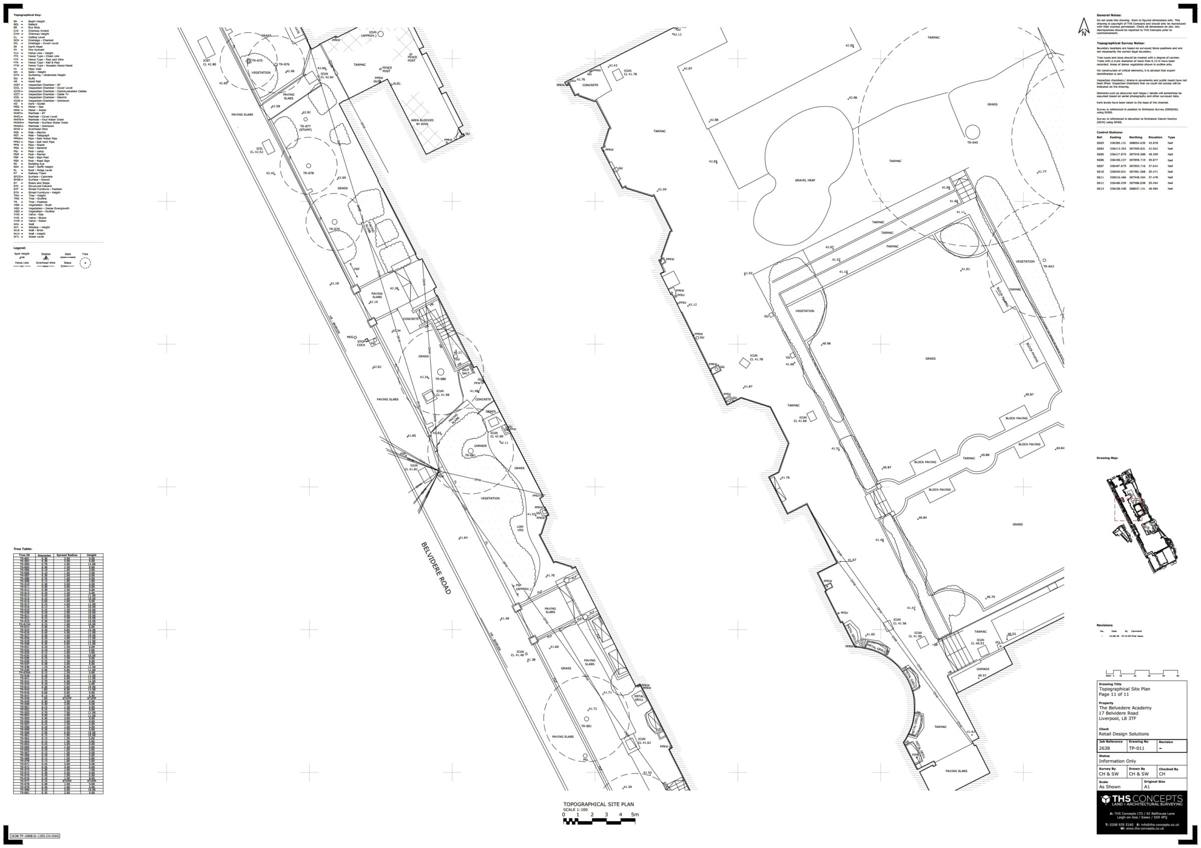
Topographical surveys (sometimes referred to as “topo surveys”) record a range of information on site and are usually referenced back to a national grid co-ordinate system. This allows the surveyed information to be tied in with other mapping products which are also aligned to a national grid system. In the United Kingdom this is dealt with by the Ordnance Survey.
The features of a topographical site survey depend on the client requirements / the complexity of the project. Examples of what information is typically surveyed includes:
Natural Features:
Human-Made Features:
The process in obtaining a topographical survey is simple. The key component when commissioning a topographic land surveying company is to ensure you have a suitable specification for your chosen surveyors to work from. A specification from RICS (Royal Institute of Chartered Surveyors) would be a good place to start. Once you have a specification then carefully choose a surveying company. It is always worth checking reviews, previous work, and insurances to see if they are the right company for your scheme.
Establishing a Control Network: Upon arrival at the site, the first task is to establish a control network, often using GPS equipment to align the survey with the local or national Ordnance Survey grid. This network, typically marked with survey nails in solid structures, is crucial for referencing all subsequent measurements. The network is usually set out using a total station, which allows for precise positioning and orientation.
Conducting the Topographical Survey: With the control network in place, the survey team starts the topographical survey, capturing various details as specified in the project scope. This might include the locations of trees, land elevations, building positions, and watercourses. The use of modern equipment like robotic total stations enables efficient data collection without the need for an assistant.
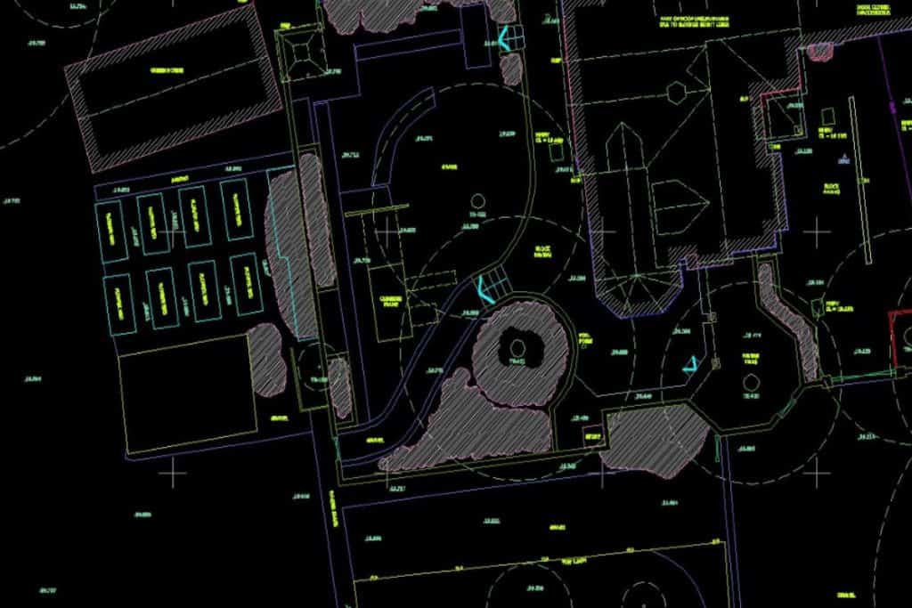
Data Processing and Deliverable Creation: After collecting all necessary data, the team returns to the office to process the information. Using software like AutoCAD, they convert the data into detailed DWG drawings, PDF files, and site photographs. These deliverables provide the client with a comprehensive representation of the surveyed area, incorporating all the critical details captured on-site.
Whether you are building a new house or designing a new railway line, a topographical survey is essential when land is being developed.
Without accurate drawings and design data, it’s difficult to plan a project accurately and safely. The surveyed information allows designers to see exactly how the current site is arranged and includes accurate, co-ordinated positions and associated heights of items.
Without a survey, you may not know about important issues regarding your site that may be costly to fix further along the line. Examples include:
Here are a few examples of construction and engineering projects that may require a topographical survey:
Land development projects: Topographical surveys are often used in land development projects to provide a detailed map of the site and its features, which can be used to plan the layout and design of the development.
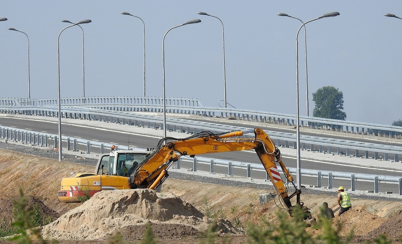
Road and highway construction: Topographical surveys are used in road and highway construction projects to provide detailed information about the terrain and features of the site, which can be used to plan the route and design of the road.
Building construction: Topographical surveys can be used in building construction projects to provide detailed information about the site and its features, which can be used to plan the layout and design of the building and its foundations.
Utility construction: Topographical surveys are often used in utility construction projects, such as water and sewage systems, to provide detailed information about the site and its features, which can be used to plan the route and design of the utilities.
A topographical survey is a key component when designing anything on an existing piece of land. It is important to know the precise position and layout of various items to ensure the design is buildable and efficient. It would be problematic designing a building to be placed over an existing large tree, for instance. The builder would arrive, ready to build, and then have to worry about removing the tree or changing the design, all of which are very costly.
A topographical survey will help you design more effectively and assist in avoiding future problems and making your land as efficient as possible.
In principle, a topographical survey will get your designs off to the best start, as you will have all the existing positional information of a site. You can then be confident that the design being built will fit and be properly built, with the likelihood of less on-site issues.

Two-week survey project in Liverpool, documenting complex school landscapes and outdoor facilities.

Enhancing operational safety at the Freeport of Monrovia by rectifying the alignment of essential navigation towers.
92 Bellhouse Lane, Leigh-on-Sea, Southend-On-Sea, Essex, SS9 4PQ
76 Quill Street, Finsbury Park, London, N4 2AD
THS Concepts has a passionate team of surveyors and CAD draughtsman delivering detailed, thorough and accurate surveys and CAD drawings. We are far more than just a land and building surveying company.
Terms & Conditions | XML Sitemap | Copyright 2022 – THS Concepts LTD