Foulness Island, Essex
Foulness Island drainage scheme
Hydrographic surveys, Topographical surveys, Drone surveys

Services
Aerial data captured safely from the ground. Our CAA-qualified pilots fly survey drones for point clouds, mapping and roof inspections, with no scaffolding, ladders or cherry pickers.
Full member of The Survey Association, the UK trade body for survey companies.
Fixed price, confirmed timescales, no surprises on the invoice.
Over 2,000 surveys, from home extensions to nuclear power stations.
£1m professional indemnity and £5m public liability cover.
Drones reach the parts of a site or building that are slow, expensive or unsafe to reach any other way. We use them in two ways: to capture survey data for design, and to inspect roofs and high-level structures without anyone working at height.
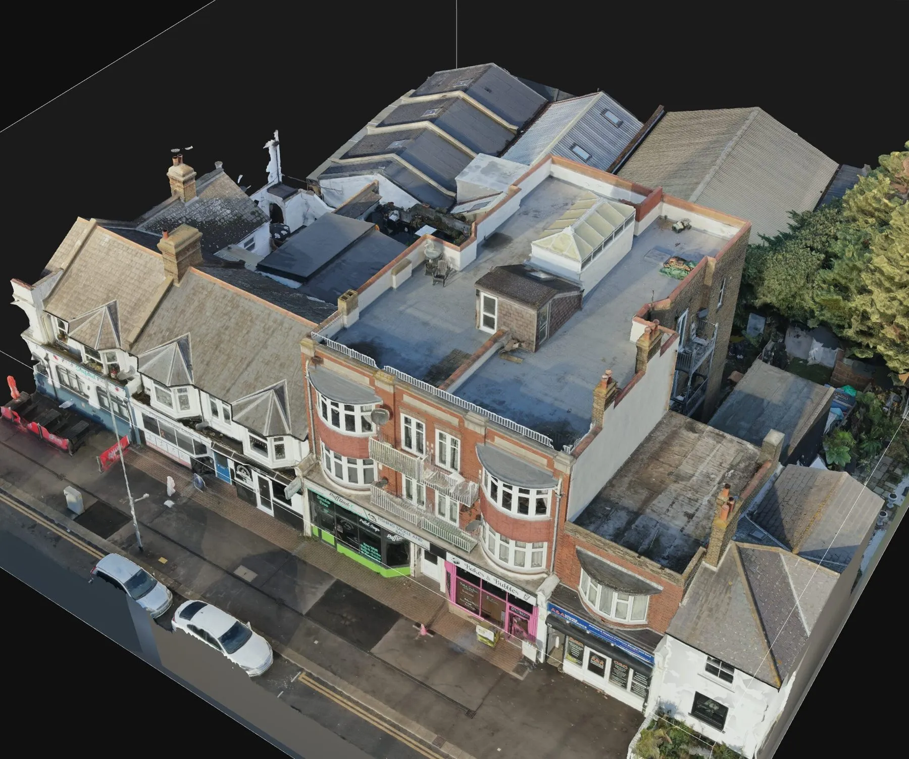
Drone photogrammetry and LiDAR produce coloured point clouds and orthophotos of sites, roofs and upper elevations. We combine them with ground-based topographical surveys and 3D laser scans so the whole site sits in one coordinated dataset.
Inspecting a roof with ladders or a cherry picker costs time and money and brings working at height risk. A drone inspection captures detailed photographs and video from the ground, usually in a single visit. We work alongside building surveyors and property managers, and can supply a condition report with the media.
Every flight starts with an assessment of the area and the equipment. Our pilots fly within CAA rules, check permissions where they are needed, and will not fly if it is not safe to do so.
Aerial LiDAR or photogrammetry, captured by drone and tied to the OS grid. Ideal for large sites, roofs and upper elevations that are slow or unsafe to survey from the ground.
Roofs, chimneys, gutters and flashings photographed and filmed by drone from the ground, with no scaffolding, ladders or cherry pickers. Photos and video usually within two days of the flight.
We quote within one working day, check whether the location can be flown, and give you a fixed price and our earliest date.
Our pilot assesses the area and equipment before every flight, then captures the agreed imagery or survey data.
Roof photos and video usually arrive within 2 days of the flight. Survey data is processed and delivered with your drawings.
Roof condition information without scaffold or access costs.
Roofs and upper elevations captured where ground surveys cannot see.
Aerial data for site planning, progress records and larger sites.
Foulness Island, Essex
Hydrographic surveys, Topographical surveys, Drone surveys
★★★★★
We have used THS Concepts for multiple surveys from topographic to drone photogrametry, they are professional and prompt and deliver exactly what is requested. Highly recommended.
★★★★★
I contacted Tom to carry out a Topographic survey, and cannot recommend them enough. Nothing was to much, and I was kept up to date with everything as it happened! Great company to deal with and reasonably priced.
★★★★★
Superb service, quick turnaround and extremely helpful! I wouldn't hesitate to use THS Concepts again if I need to in the future!
Yes. Our pilots hold the CAA A2 Certificate of Competency, which allows us to fly approved drones in built-up areas. We carry £5 million public liability and £1 million professional indemnity insurance, and assess every site and flight before take-off.
Damaged or missing flashing, tiles, ridge mortar and capping stones, blocked or cracked gutters, loose fixings, vegetation build-up and brickwork damage.
Some areas need permission first, including parts of central London and the areas around airports, prisons and nuclear sites. We never fly over groups of people, and we check with the relevant authorities before every flight.
We can usually be on site within 5 days, and media is normally issued within a day or two of the flight.
Site levels, features and boundaries for planning and design.
Point clouds and BIM models of buildings, plant and structures.
Height and storey measurement for the Building Safety Act.
Send a location, a rough brief and your deadline. We reply with a fixed quote within 24 hours.